Add Drone Photos into MssDraw
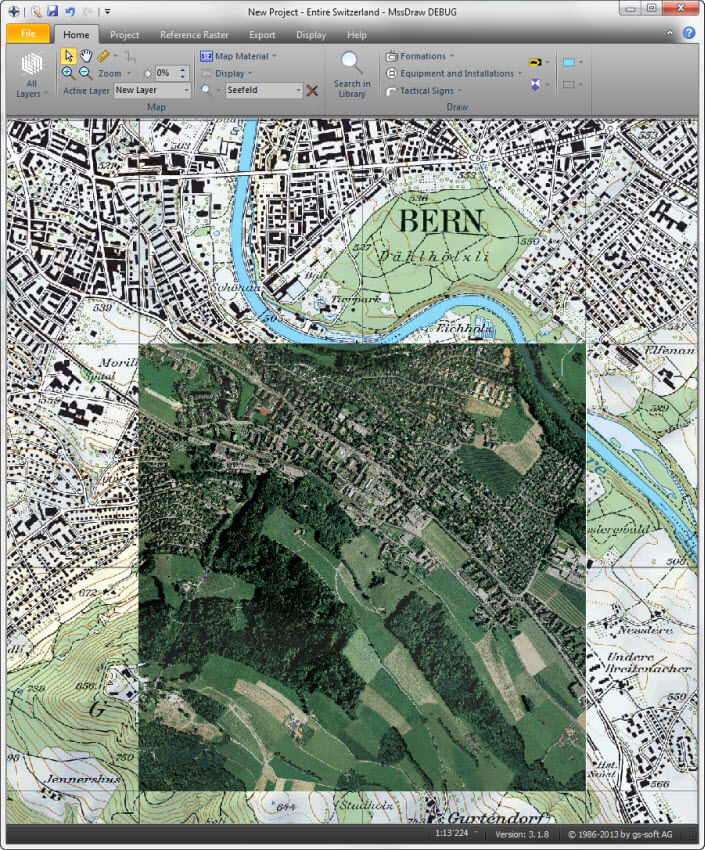
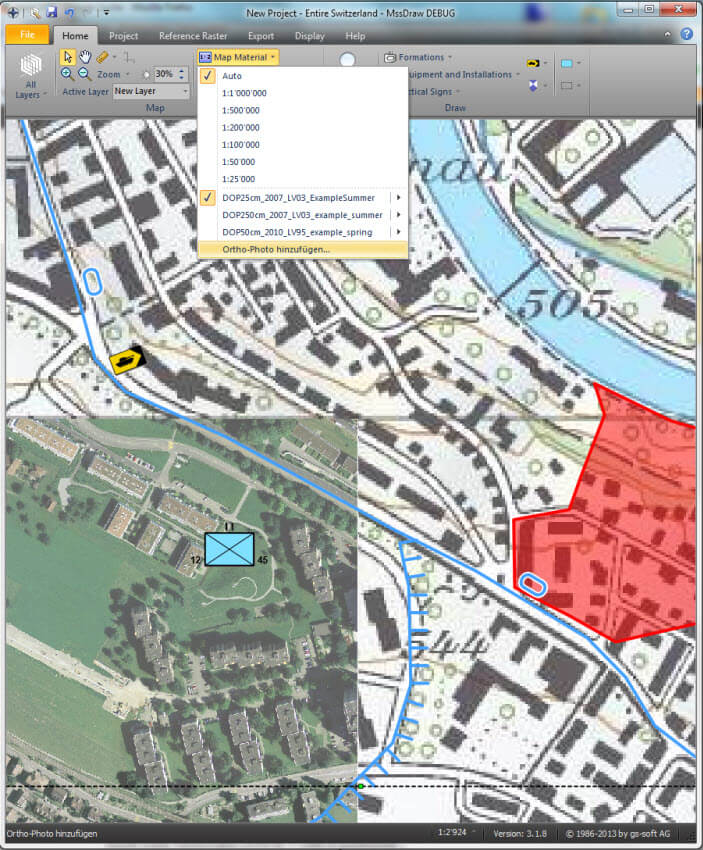
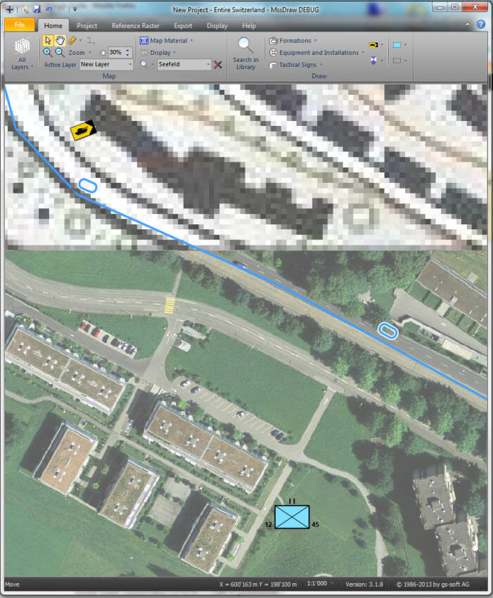
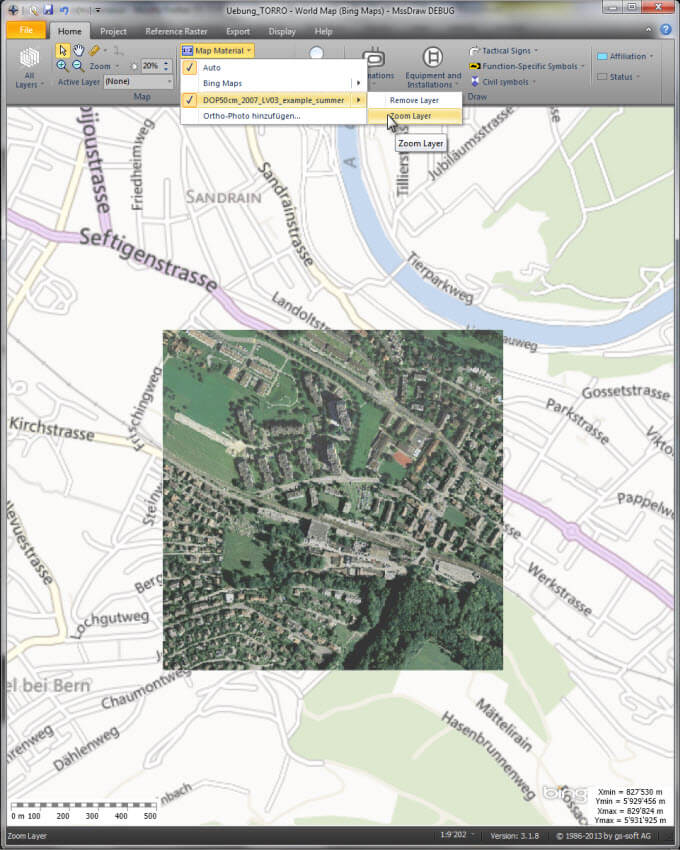
Today it is easy to start a drone to take aerial photographs. This valuable reconnaissance information can now be added into the MssDraw application. Aerial photographs with a geo reference can be added as a map overlay with the help of the "Ortho-Photo Integration…" wizard.
This new function is valuable in the following use cases:
- Integration of aerial images for areas with a poor quality of maps
- Integration of aerial images after a natural disaster
- Integrate current aerial photographs as additional reconnaissance information
- ...
The new function is supported from MssDraw version 03.01.09 and later. On the right hand side you find some example of Ortho-Photo overlays added this way.


